Success Stories
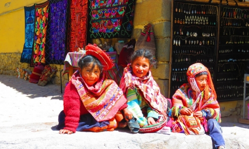
South America - The unknown balance
Many of the humans’ actions are not completely understood until they are revealed and framed within a bigger picture, from a different perspective, such as the one provided by the satellites.
Sentinel satellites from Copernicus programme are supplying huge amounts of data...
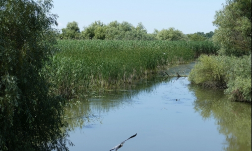
Danube River & Delta
The Danube River is the most international river in Europe, its course running across 19 countries and four capitals. After a journey of 2860 km in which 80% of the European hydrographic basin is adsorbed, the river empties into the Black Sea through a magnificent delta, the...
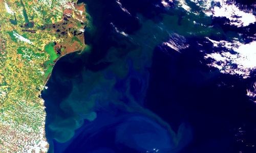
Black Sea
The Black Sea is one of the most remarkable regional seas in the world. It is almost cut off from the rest of the world’s seas, is over 2200 m deep and receives the drainage from a 1,9 million km2 basin covering about one third of the area of the continental Europe.
It is...
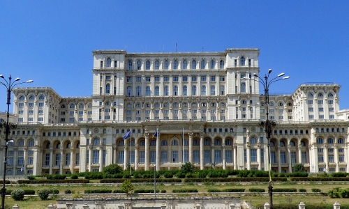
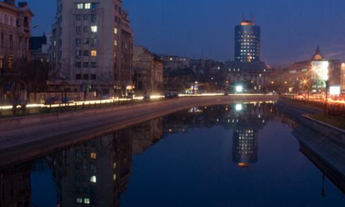
Romanian Parliament Palace - Risk assessment
One of the largest building in the world, the Romanian Palace of the Parliament has a controversial legacy, rooted in the communist regime: over 40.000 displaced people and 7 square km of demolished buildings to accomodate it.
There is no way you can to miss the imposing...
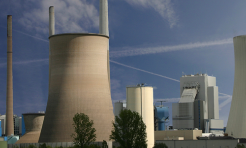
Critical Infrastructure
The nuclear power plant at Cernavoda is unique in Romania. Due to its strategic profile, one of the main concerns of the authorities is the nuclear safety and security. Special standard are to be followed in order to insure the long term (60 years) functionality in safe...
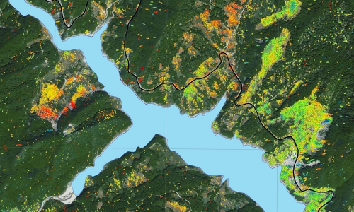
Landslides
Siriu area, in the central part of Romania, presents a long history of landslides processes. During recent years, several landslides affecting the water dam and the surroundings have been reported in the area. The water dam construction triggered slopes instability that led to one...
Urban area evolution
The development of the urban areas in time can be monitored using space imagery in a reliable and efficient manner.
Having the World Bank as client, TERRASIGNA provided maps showing the evolution of the most important and biggest urban areas in Romania, offering information...
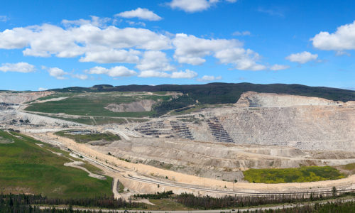
Mining Zones
In Ocnele Mari (Romania) and the surrounding area, mining has caused numerous environmental and related social problems. In 2009, TERRASIGNA developed a monitoring service to accurately detect the starting of the ground subsidence conditions before the actual catastrophic event to...
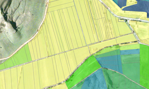
Agriculture
Agriculture is one of the domains that successfully use the space technologies in order to achieve better results. Applications and services can be built to support farmers in a better management of their lands, more efficient and less costly production, together with a relevant...
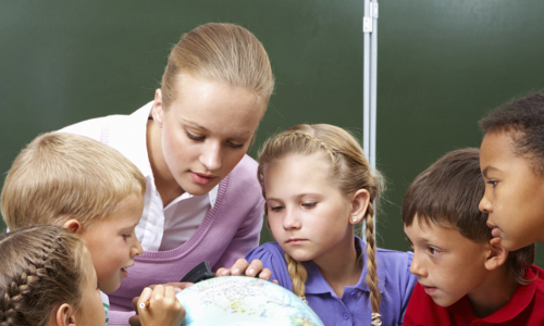
LEOWorks
LEOWorks addresses the issues faced by upper secondary school students and their teachers, providing them with an educational tool in order to deal with Earth Observation data and produce information (images, vectors). The software, entirely developed by TERRASIGNA, is used in...
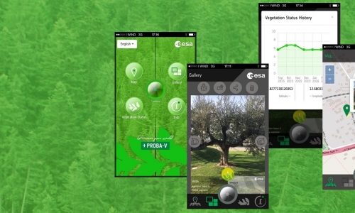
Mobile App Development: Proba-V App
TERRASIGNA is making new steps in remote sensing information usage domain by developing mobile applications for Europane Space Agency. As part of an international consortium, our team signed in to promote ESA's activities and products in the Earth Observation domain to users...