 TERRASIGNA (former ASRC) participated to the 6th International Workshop on “Advances in the Science and Applications of SAR Interferometry”, hosted by European Space Agency ESA-ESRIN in Frascati, Italy from 30th of November through 4th December 2009.
The workshop provided a forum for scientific exchange and close collaboration between individual research groups, presenting new results from the latest studies in the field and assessing the state-of-the-art.
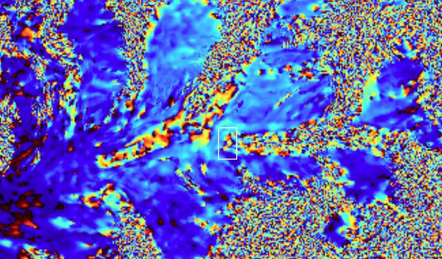
TERRASIGNA participated in a free session of this workshop with a poster on DInSAR applications for deformation monitoring supporting its presentation for the interested audience. As the studies undertaken by TERRASIGNA have revealed, the differential interferometric SAR (DInSAR) has successfully been applied to monitor various sites like urban, glaciers and landslides. For the urban site (Bucharest, Romania), a data set of 43 ERS images was used for interferogram stacking. An average deformation map was derived.
For the glacial site (Himalayan glaciers), two Envisat images were processed to form a differential interferogram, in which there have been distinguished three different zones (stable slopes, moving glaciers and melted ice). For the landslides site (Siriu, Romania), the region around the water dam Siriu and the slope stability of both sides of the water dam was being monitored.
Detailed information is available at request. Please contact us if this subject is of interest for your organisation.